 array:1 [
  "RF Query: /Property?$select=ALL&$top=20&$filter=(StandardStatus in ('Active','Pending','Active Under Contract','Coming Soon') and PropertyType in ('Residential','Land')) and ListingKey eq 1096210343/Property?$select=ALL&$top=20&$filter=(StandardStatus in ('Active','Pending','Active Under Contract','Coming Soon') and PropertyType in ('Residential','Land')) and ListingKey eq 1096210343&$expand=Media/Property?$select=ALL&$top=20&$filter=(StandardStatus in ('Active','Pending','Active Under Contract','Coming Soon') and PropertyType in ('Residential','Land')) and ListingKey eq 1096210343/Property?$select=ALL&$top=20&$filter=(StandardStatus in ('Active','Pending','Active Under Contract','Coming Soon') and PropertyType in ('Residential','Land')) and ListingKey eq 1096210343&$expand=Media&$count=true" => array:2 [
    "RF Response" => Realtyna\MlsOnTheFly\Components\CloudPost\SubComponents\RFClient\SDK\RF\RFResponse {#4491
      +items: array:1 [
        0 => Realtyna\MlsOnTheFly\Components\CloudPost\SubComponents\RFClient\SDK\RF\Entities\RFProperty {#4475
          +post_id: "29854"
          +post_author: 1
          +"ListingKey": "1096210343"
          +"ListingId": "20786949"
          +"PropertyType": "Land"
          +"PropertySubType": "Unimproved Land"
          +"StandardStatus": "Active"
          +"ModificationTimestamp": "2024-11-27T18:59:07Z"
          +"RFModificationTimestamp": "2024-11-27T19:11:59.918983+00:00"
          +"ListPrice": 4033653.0
          +"BathroomsTotalInteger": 0
          +"BathroomsHalf": 0
          +"BedroomsTotal": 0
          +"LotSizeArea": 68.376
          +"LivingArea": 0
          +"BuildingAreaTotal": 0
          +"City": "Farmersville"
          +"PostalCode": "75442"
          +"UnparsedAddress": "0 County Road 850, Farmersville, Texas 75442"
          +"Coordinates": array:2 [
            0 => -96.31724561
            1 => 33.07868332
          ]
          +"Latitude": 33.07868332
          +"Longitude": -96.31724561
          +"YearBuilt": 0
          +"InternetAddressDisplayYN": true
          +"FeedTypes": "IDX"
          +"ListAgentFullName": "David Barnhart"
          +"ListOfficeName": "BRG & Associates"
          +"ListAgentMlsId": "0524162"
          +"ListOfficeMlsId": "BHRG01C"
          +"OriginatingSystemName": "NTR"
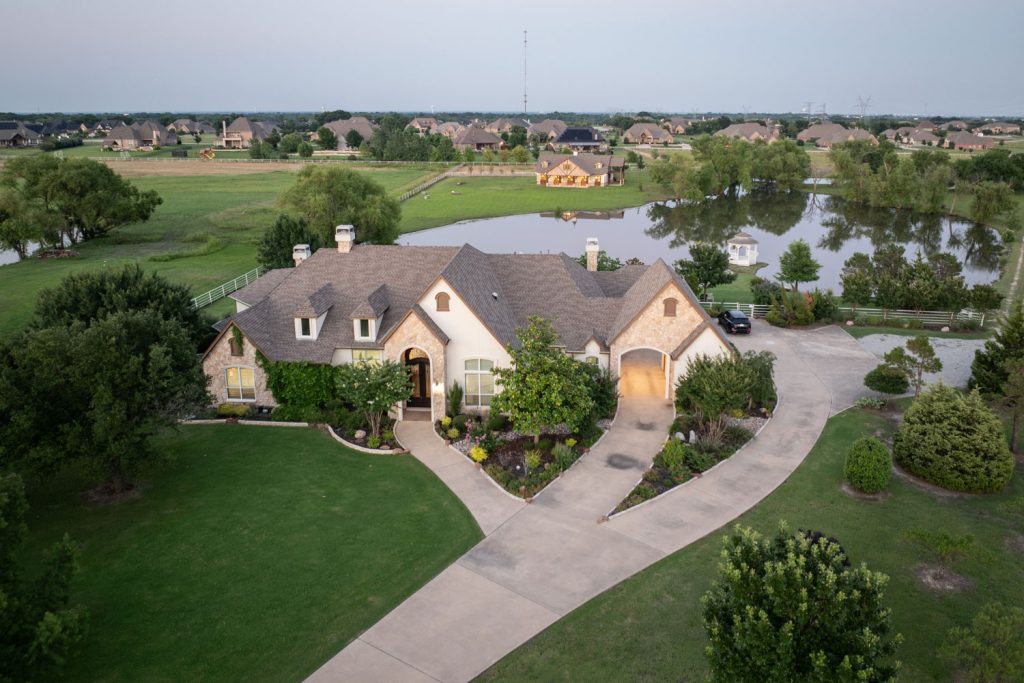
          +"PublicRemarks": "Located in the ETJ of Josephine this property is in the unincorporated area of Collin County.  This property does have a pond located on the west side of the land, perfect for fishing or an added amenity to new home building.  Land is selling fast in this area so don't miss out on an investment opportunity."
          +"AttributionContact": "972-442-7508"
          +"CLIP": 8688024392
          +"Country": "US"
          +"CountyOrParish": "Collin"
          +"CreationDate": "2024-11-27T19:11:59.818145+00:00"
          +"CurrentUse": "Agricultural"
          +"Directions": "From Josephine, north on Main Street to left on FM 547.  Property on right after the curve."
          +"ElementarySchool": "Nesmith"
          +"ElementarySchoolDistrict": "Community ISD"
          +"HighSchool": "Community"
          +"HighSchoolDistrict": "Community ISD"
          +"HumanModifiedYN": true
          +"InternetAutomatedValuationDisplayYN": true
          +"InternetConsumerCommentYN": true
          +"InternetEntireListingDisplayYN": true
          +"ListAgentDirectPhone": "972-978-4611"
          +"ListAgentEmail": "david@brgassociates.com"
          +"ListAgentFirstName": "David"
          +"ListAgentKey": "20482592"
          +"ListAgentKeyNumeric": "20482592"
          +"ListAgentLastName": "Barnhart"
          +"ListAgentMiddleName": "L"
          +"ListOfficeKey": "4505540"
          +"ListOfficeKeyNumeric": "4505540"
          +"ListOfficePhone": "972-442-7508"
          +"ListingAgreement": "Exclusive Right To Sell"
          +"ListingContractDate": "2024-11-27"
          +"ListingKeyNumeric": 1096210343
          +"ListingTerms": "Cash, Conventional"
          +"LockBoxType": "None"
          +"LotFeatures": "Agricultural,Pond on Lot"
          +"LotSizeAcres": 68.376
          +"LotSizeSource": "Appraiser"
          +"LotSizeSquareFeet": 2978458.56
          +"MajorChangeTimestamp": "2024-11-27T12:56:37Z"
          +"MiddleOrJuniorSchool": "Community Trails"
          +"MlsStatus": "Active"
          +"OccupantPhone": "9729784611"
          +"OriginalListPrice": 4033653.0
          +"OriginatingSystemKey": "447087745"
          +"OwnerName": "Moslener"
          +"ParcelNumber": "R625300101501"
          +"PhotosChangeTimestamp": "2024-11-27T18:59:31Z"
          +"PhotosCount": 2
          +"Possession": "Close Of Escrow"
          +"PriceChangeTimestamp": "2024-11-27T12:56:37Z"
          +"RoadFrontageType": "Farm to Market Road"
          +"RoadSurfaceType": "Asphalt"
          +"ShowingContactPhone": "972-978-4611"
          +"ShowingContactType": "Agent"
          +"ShowingRequirements": "Go Direct"
          +"SpecialListingConditions": "Standard"
          +"StateOrProvince": "TX"
          +"StatusChangeTimestamp": "2024-11-27T12:56:37Z"
          +"StreetName": "County Road 850"
          +"StreetNumber": "0"
          +"SubdivisionName": "None"
          +"SyndicateTo": "Homes.com,IDX Sites,Realtor.com,RPR,Syndication Allowed"
          +"TaxAnnualAmount": "176.0"
          +"TaxBlock": "1"
          +"TaxLegalDescription": "ABS A0253 JOHN DAVIS SURVEY, SHEET 1, TRACT 1"
          +"Utilities": "None"
          +"ZoningDescription": "Agriculture"
          +"Restrictions": "No Restrictions"
          +"GarageDimensions": ",,"
          +"OriginatingSystemSubName": "NTR_NTREIS"
          +"@odata.id": "https://api.realtyfeed.com/reso/odata/Property('1096210343')"
          +"CurrentPrice": 4033653.0
          +"provider_name": "NTREIS"
          +"short_address": "Farmersville, Texas 75442, US"
          +"RecordSignature": -481491523
          +"UniversalParcelId": "urn:reso:upi:2.0:US:48085:R625300101501"
          +"CountrySubdivision": "48085"
          +"Media": array:2 [
            0 => array:57 [
              "Order" => 1
              "ImageOf" => "Other"
              "ListAOR" => "Collin County Association of Realtors Inc"
              "MediaKey" => "2003672262123"
              "MediaURL" => "https://dx41nk9nsacii.cloudfront.net/cdn/119/1096210343/74a3ae07e09b0509c6904da4eb3ca08a.webp"
              "ClassName" => null
              "MediaHTML" => null
              "MediaSize" => 145284
              "MediaType" => "webp"
              "Thumbnail" => "https://dx41nk9nsacii.cloudfront.net/cdn/119/1096210343/thumbnail-74a3ae07e09b0509c6904da4eb3ca08a.webp"
              "ImageWidth" => null
              "Permission" => null
              "ImageHeight" => null
              "MediaStatus" => null
              "SyndicateTo" => "Homes.com,IDX Sites,Realtor.com,RPR,Syndication Allowed"
              "ListAgentKey" => "20482592"
              "PropertyType" => "Land"
              "ResourceName" => "Property"
              "ListOfficeKey" => "4505540"
              "MediaCategory" => "Photo"
              "MediaObjectID" => "Aerial View 1.jpg"
              "OffMarketDate" => null
              "X_MediaStream" => null
              "SourceSystemID" => "TRESTLE"
              "StandardStatus" => "Active"
              "HumanModifiedYN" => false
              "ListOfficeMlsId" => "BHRG01C"
              "LongDescription" => "Map location"
              "MediaAlteration" => null
              "MediaKeyNumeric" => 2003672262123
              "PropertySubType" => "Unimproved Land"
              "RecordSignature" => 1515903884
              "PreferredPhotoYN" => null
              "ResourceRecordID" => "20786949"
              "ShortDescription" => null
              "SourceSystemName" => null
              "ChangedByMemberID" => null
              "ListingPermission" => null
              "PermissionPrivate" => null
              "ResourceRecordKey" => "1096210343"
              "ChangedByMemberKey" => null
              "MediaClassification" => "PHOTO"
              "OriginatingSystemID" => null
              "ImageSizeDescription" => null
              "SourceSystemMediaKey" => null
              "ModificationTimestamp" => "2024-11-27T18:59:07.107-00:00"
              "OriginatingSystemName" => "NTR"
              "MediaStatusDescription" => null
              "OriginatingSystemSubName" => "NTR_NTREIS"
              "ResourceRecordKeyNumeric" => 1096210343
              "ChangedByMemberKeyNumeric" => null
              "OriginatingSystemMediaKey" => "447087887"
              "PropertySubTypeAdditional" => "Unimproved Land"
              "MediaModificationTimestamp" => "2024-11-27T18:59:07.107-00:00"
              "InternetEntireListingDisplayYN" => true
              "OriginatingSystemResourceRecordId" => null
              "OriginatingSystemResourceRecordKey" => "447087745"
            ]
            1 => array:57 [
              "Order" => 2
              "ImageOf" => "Other"
              "ListAOR" => "Collin County Association of Realtors Inc"
              "MediaKey" => "2003672262124"
              "MediaURL" => "https://dx41nk9nsacii.cloudfront.net/cdn/119/1096210343/74c19eee62258562260699186dd41d3c.webp"
              "ClassName" => null
              "MediaHTML" => null
              "MediaSize" => 165743
              "MediaType" => "webp"
              "Thumbnail" => "https://dx41nk9nsacii.cloudfront.net/cdn/119/1096210343/thumbnail-74c19eee62258562260699186dd41d3c.webp"
              "ImageWidth" => null
              "Permission" => null
              "ImageHeight" => null
              "MediaStatus" => null
              "SyndicateTo" => "Homes.com,IDX Sites,Realtor.com,RPR,Syndication Allowed"
              "ListAgentKey" => "20482592"
              "PropertyType" => "Land"
              "ResourceName" => "Property"
              "ListOfficeKey" => "4505540"
              "MediaCategory" => "Photo"
              "MediaObjectID" => "Aerial View 2.jpg"
              "OffMarketDate" => null
              "X_MediaStream" => null
              "SourceSystemID" => "TRESTLE"
              "StandardStatus" => "Active"
              "HumanModifiedYN" => false
              "ListOfficeMlsId" => "BHRG01C"
              "LongDescription" => "Map"
              "MediaAlteration" => null
              "MediaKeyNumeric" => 2003672262124
              "PropertySubType" => "Unimproved Land"
              "RecordSignature" => 1515903884
              "PreferredPhotoYN" => null
              "ResourceRecordID" => "20786949"
              "ShortDescription" => null
              "SourceSystemName" => null
              "ChangedByMemberID" => null
              "ListingPermission" => null
              "PermissionPrivate" => null
              "ResourceRecordKey" => "1096210343"
              "ChangedByMemberKey" => null
              "MediaClassification" => "PHOTO"
              "OriginatingSystemID" => null
              "ImageSizeDescription" => null
              "SourceSystemMediaKey" => null
              "ModificationTimestamp" => "2024-11-27T18:59:07.107-00:00"
              "OriginatingSystemName" => "NTR"
              "MediaStatusDescription" => null
              "OriginatingSystemSubName" => "NTR_NTREIS"
              "ResourceRecordKeyNumeric" => 1096210343
              "ChangedByMemberKeyNumeric" => null
              "OriginatingSystemMediaKey" => "447087888"
              "PropertySubTypeAdditional" => "Unimproved Land"
              "MediaModificationTimestamp" => "2024-11-27T18:59:07.107-00:00"
              "InternetEntireListingDisplayYN" => true
              "OriginatingSystemResourceRecordId" => null
              "OriginatingSystemResourceRecordKey" => "447087745"
            ]
          ]
          +"ID": "29854"
        }
      ]
      +success: true
      +page_size: 1
      +page_count: 1
      +count: 1
      +after_key: ""
    }
    "RF Response Time" => "0.08 seconds"
  ]
]


